-

 Geographical Services & SolutionsSoftware development frameworks and libraries GeoBase.
Geospatial mapping software available as a software development kit,
which performs various functions. -

 WelcomeTo
-


 Mango's Enterprises.We knows our customers business needs,
deliver innovative and practical solutions.
We are the best
GIS Solution's
Mobile Applications
We have more than a Four Android Application for GIS Survey, Live on Androind Play Store.
Web Application
The besties Web Application with offline and online mood. Productive and Effective application for GIS Maping.
Best Team
More than Seven field Office with Best and Big Team at each office.
Take every challenges and
drop every fear
Discovering The World Through GIS
Mango’s Enterprises is a digital edge company. Since 2012 Mango's Enterprises delivering innovative and practical solutions in marketplace To be a global leader in Geocapital (GIS ) and Information Technology.
Read more
About Us
Marvelous people
It’s all about Mango's Enterprises
The Best GIS Solutions

We believe in deep collaboration to innovate in a way that others cannot. A company is the company created by the people in it. To provide the best people for our clients vision accomplishments A World of Solutions for your Growing Needs And To be a global leader in Geocapital (GIS ) and Information Technology.
Integrated Advantages of Mango’s Enterprises.
1. We have fully organized team for all services which we provide.
2. We are specialist in GIS, Information Technology and Consulting Services.
3. Other marketing services
4. Integration of Advance Technology.
Our Best Services
Geographical Services & Solutions
GIS Software Applications
Software development frameworks and libraries GeoBase. Geospatial mapping software available as a software development kit, which performs various functions.
GIS Survey
Surveyors depend on a variety of software and technology to gather existing information, collect new information, analyze data, produce plans, manage projects.
Data Conversion
GIS data conversion is a process of encoding geographical format into a file. GIS data conversion services are used widely in mapping services.
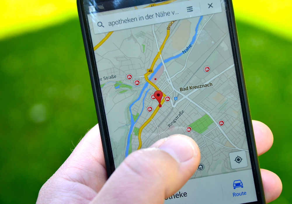
Geocoding
Software development frameworks and libraries GeoBase. Geospatial mapping software available as a software development kit, which performs various functions.
Remote Sensing
Surveyors depend on a variety of software and technology to gather existing information, collect new information, analyze data, produce plans, manage projects.
Image Processing
GIS data conversion is a process of encoding geographical format into a file. GIS data conversion services are used widely in mapping services.
Off-the-Shelf Map Data Products
Mapping services where simple raster images are converted to vector models.
Consulting
GIS consultants are responsible for managing digital mapping data and performing analyses to answer "GIS Questions".